Total population
509,781
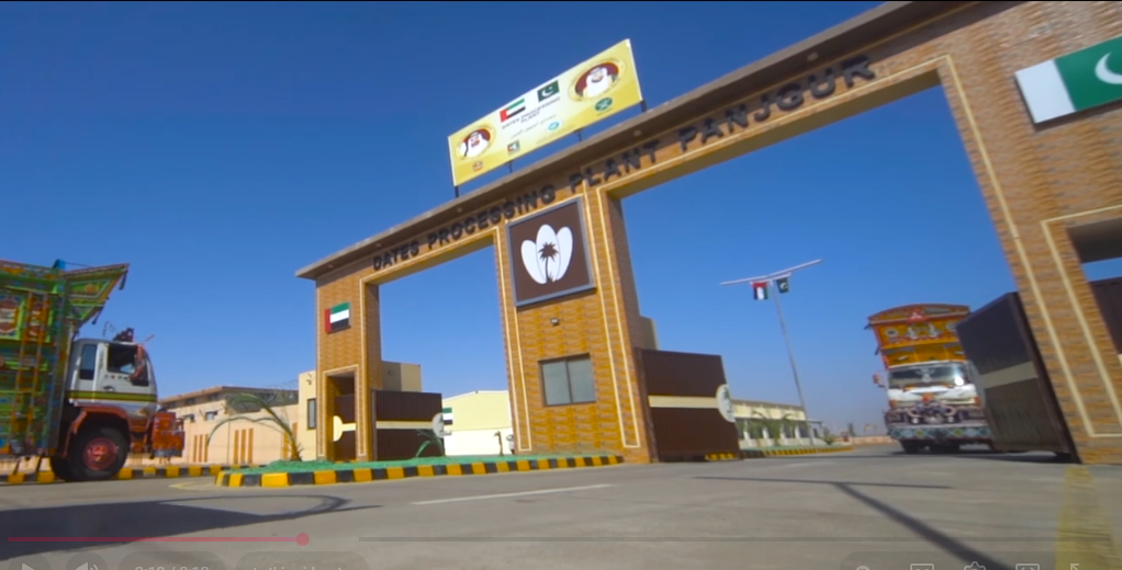
Panjgur District covers 16,891 km² along the Iran border, with a 2023 population of 509,781, known for its date orchards and as the division's most rural district.
509,781
16,891 km²
4 tehsils · 16 union councils
| Indicator | Value |
|---|---|
| Total population | 509,781 |
| Tehsils | 4 |
| Union councils | 16 |
| Total area | 16,891 km² |
| Literacy | 42.07% |
| Urban / Rural | 30.93% / 69.07% |
| Type | Count |
|---|---|
| Schools | 384 |
| Colleges | 7 |
| Facility type | Count |
|---|---|
| DHQ / Teaching Hospital | 1 |
| Hospitals (general) | 2 |
| BHU | 29 |
| RHC | 6 |
| Civil Dispensaries | 11 |
| MCH Centres | 4 |
| Station | Count |
|---|---|
| PS Panjgur | 1 |
| Total | 1 |
| Member | Constituency | Name (Party) |
|---|---|---|
 |
NA-258 Panjgur-cum-Kech (shared with Kech) | Waja Pullain Baloch (National Party) |
| Member | Constituency | Name (Party) |
|---|---|---|
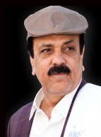 |
PB-29 Panjgur-I | Mir Asadullah Baloch (BNP Awami) |
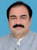 |
PB-30 Panjgur-II | Rahmat Saleh Baloch (National Party) |
Date-orchard agriculture and drinking supply both depend on a depleting karez/tube-well system in an arid, border district.
Panjgur has seen some of Makran's most serious militancy incidents, including coordinated attacks on security installations.
A single DHQ hospital and dispersed BHUs serve a district where 69% of the population is rural.
Literacy for women (37.80%) is the lowest of any district in the division.
Distance from Quetta and Karachi, and the district's Iran-border location, add cost and delay to trade, healthcare referral and public services.